Geography of the Panchayat
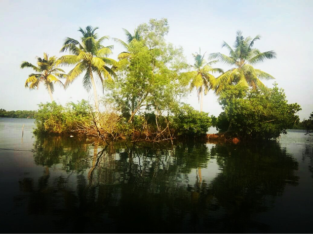
Vayalar Grama Panchayat is bounded by Vayalar Kayal (backwaters) on the east, Kuriyamuttom Kayal and the adjoining Veluthedathu Thodu on the south, the National Highway on the west, and Kavilpally Thodu on the north. The Panchayat covers an area of 14.5 square kilometres.
The region comprises land, homesteads, public lands, cultivable and non-cultivable areas, backwaters, and canals. Agriculture in the Panchayat is diverse, including the cultivation of paddy, coconut, vegetables, tapioca, pepper, banana, mango, jackfruit, cashew, and arecanut, along with backwater-based farming of prawns and other fish species.
The terrain is generally level and predominantly covered with sandy soil. However, in backwater-adjacent areas such as Chathanchira, Pullanchira, Plasherichira, Kundathikadavu, Nagamkulangara, Kelamangalam, Ettupurakkal, and Kuttamchal, a mixture of sandy and clayey soil is found. The south-western part of the Panchayat, which has less connection with water bodies, is largely covered with infertile sandy soil. Drainage in this region is considerably higher than in the eastern parts.
The Veluthedathu Thodu, Puthen Thodu, and Velappan Thodu flow east-west and are connected to the Vayalar backwaters. The Pullanchira, Chathanchira, Plasherichira, and Kannekkattu Thodu flow in a south-north direction. In the north-western areas of the Panchayat, Ponnamveli, Kuttamchal, and Malithodu encircle the region.
Since all these canals are connected to the backwaters and the sea, they are influenced by tidal movements, resulting in both high and low tides. Consequently, the water in these channels is saline. Traditionally, the principal crops cultivated in the Panchayat were coconut and paddy.